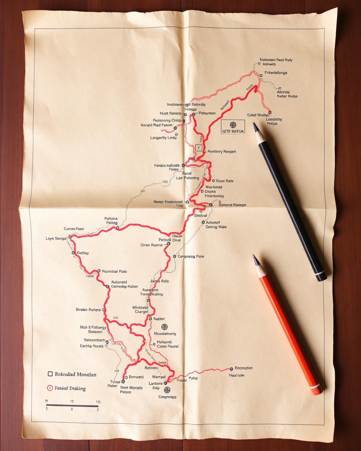
GIS inventory of trade routes, shrines and settlement patterns across the Mustang and Solukhumbu corridors.
The corridor mapping project records the cultural geography of historic trans-Himalayan trade routes, including shrines, resting places, monasteries and seasonal settlements.
Outputs include a provincial GIS dataset, printed route atlases and oral history recordings with elder traders.